
Move to demolish Nasr City neighborhoods based on profit, not public interest, experts say
Nasr City, a planned district in eastern Cairo built in the 1960s during the Gamal Abdel Nasser era, was once intended to be Egypt’s new capital city. Now, two of the district’s oldest and largest neighborhoods face demolition to make way for a new government development plan.
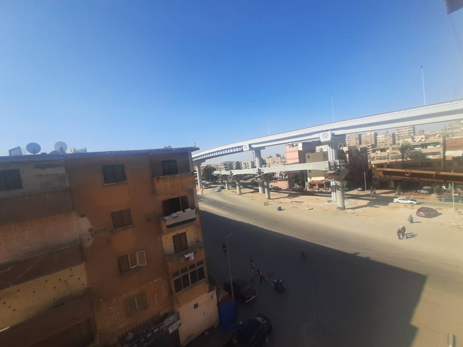
The original expropriation decision in 2020 said the land on which the two neighborhoods are built will be included in the public monorail project that will connect the area to the new administrative capital. Emerging plans for the area, however, are also set to demolish existing homes to make way for taller residential tower blocks that would allow for greater population concentration in the neighborhood.
Contrary to the informal neighborhoods the government has typically targeted for demolition in recent years, the sixth and seventh neighborhoods in Nasr City were built as planned government housing areas over half a century ago. Known by elderly residents as “the Abdel Nasser blocks,” according to Abdullah,* a resident of the sixth neighborhood who took Mada Masr on a tour of the area, the neighborhood is marked by wide, sun-filled avenues and uniform apartment blocks in the modernist style.
Composed of four adjoining buildings, each block appears as a single structure with four separate entrances. The buildings are a maximum of five floors and are divided into three tiers: three-bedroom, two-bedroom and one-bedroom apartments. Just outside the Abdel Nasser blocks, the streets become more congested and are packed with residential towers built in the 1990s. Included in the structures targeted for demolition are the Sawaysah buildings, named for the people who were displaced from Suez following the 1967 war with Israel and moved into the neighborhood.
According to architects and urban researchers who spoke to Mada Masr, the government’s decision to demolish and rebuild the area cannot be realistically justified as being in the public interest and is instead a move by authorities to capitalize on the increased value of the land.
The government’s plans are nothing more than a “process of urban renewal — in other words, demolishing a building to build a new one,” says Momen El-Husseiny, an architectural engineering professor at the American University in Cairo. “The demolitions are unjustified in terms of any risks to the existing structures, for example, or that this is an unplanned neighborhood.”
Further, demolishing the sixth and seventh neighborhoods can set a precedent for how the government approaches urban development, according to Ahmed Zaazaa, an architect, designer and urban researcher who focuses on informal housing practices. “Here lies the risk in taking this step: proceeding with removing this vast area of planned, formal housing means freeing the state of any social or legal deterrence to carrying out demolitions within the context of replanning Cairo,” he says.
In a briefing request submitted to the House of Representatives earlier this month, MP Maha Abdel Nasser of the Egyptian Social Democratic Party demanded a halt to all demolition in the area and a study of alternatives for development without resorting to the removal of any stable structures. “We are at the stage of removing entire neighborhoods in the name of development without any standard, agreed-upon framework,” she said in the statement. “These houses have legal and documented ownership in a healthy, organized neighborhood.”
Experts say the value of the land has increased as a result of nearby development projects and urban expansion, all at the expense of the current residents.
“This is profit extraction by repurposing the land in the area after its value doubled as a result of changes to the surrounding areas,” Zaazaa says. “Large investments have been pumped into nearby road projects and [the state] believes that now is the time to seize on these returns. They must have found that capitalizing on desert land after it increases in value is not enough and that it is now necessary to repurpose land within the city, as it can unlock much greater value.”
A series of major road and transportation projects in and around Nasr City in recent years has reshaped the area. These include the electric monorail line, which will connect Nasr City to the new administrative capital; the Mushir Tantawi Highway, which is a major route to New Cairo and by extension the new capital; and a number of new bridges and overpasses, the closest of which passes through Al-Khalifa Al-Zafer Street, a main thoroughfare in the sixth and seventh neighborhoods.
“The basic rule any urban researcher learns at the beginning of their studies is that extending a road in and of itself doubles the value of surrounding lands,” Omnia Khalil, a researcher in anthropology and urbanism, says.
The value of the land has also increased as a result of urban and demographic changes through processes such as gentrification, with residents of higher socioeconomic status coming to live in nearby areas, according to Husseini.
The move to demolish the sixth and seventh neighborhoods has angered long-time residents who feel authorities are treating them as expendable. “The government thinks this land is wasted on us now that it has increased in value,” Abdallah says, echoing a sentiment frequently repeated by residents to describe the plans.
Those plans include replacing the current buildings with “residential towers that include parking garages and commercial malls … in addition to establishing administrative towers,” according to Youm7.
The government project would capitalize on the land by eliminating an architectural and planning style that characterized older areas in Nasr City, including the Abdel Nasser blocks. Generally no higher than five floors, the existing structures will be replaced with high-rise towers similar to the ones that first began to spring up in areas adjacent to Nasr City in the 1990s, according to Zaazaa, which pack more residential units in a smaller space. He says this model of vertical urban development has led to severe overcrowding in the district.
These types of urban changes also affect how neighborhood communities develop and interact. “The horizontal structure of the blocks generally includes small buildings comprising ten families, with just two apartments per floor separated by a few meters,” Khalil says. “This creates a distinctive model of relations between neighbors among residents of the Nasr City blocks and other neighborhoods that feature this architectural style, unlike the towers that have become ubiquitous in other parts of the city.”
A case in point is Abdullah’s parents, who both came to the neighborhood as children in the 1960s.
“I came here in 1966 when I was 11 years old,” Abdullah’s father tells Mada Masr as he sits in his sunlit apartment. “They had just finished building the neighborhood. My father submitted a request to the Cairo Governorate and we first got a one-bedroom apartment. We then moved to a two-bedroom apartment, followed by a three-bedroom. Moving was easy once you could afford the higher rent. The neighborhood was still empty, and rent was paid in the form of installments that concluded with ownership after 15 years.”
The rent-to-own system was the prevailing system in many planned neighborhoods across Cairo, according to Khalil.
Abdullah's mother also arrived in the sixth district with her family as a child. When she married in the late 1970s, she moved into a new apartment that her husband bought in the same neighborhood. “By the end of the 70s, most residents had owned their homes, and buying and selling had begun,” Abdullah’s father says.
The removal of the current residential blocks that make up the sixth and seventh neighborhoods will also act to reduce class diversity in the area, one that the original architectural model initially helped maintain, according to architects and urban researchers.
“Back then, the new neighborhood included spaces for small villas designated for the upper-middle class, a model known as ‘villa socialism,’” Husseini says, while at the same time, “the blocks in the sixth and seventh neighborhoods, were allocated to the lower-middle class. Those in-between gravitated toward the few high rises permitted on Youssef Abbas and Tayaran streets.”
The government’s plans to demolish the old blocks and replace them with high-rise towers constitute a “class restructuring” of the area, Khalil says.
There is “a clear possibility that the authorities want to clear the lower middle class away from the monorail’s pathway for political reasons related to the project’s image,” Husseini says. “Let’s imagine what it means, from the government’s perspective. When someone peers out through the glass as they ride the monorail on their way to the new capital — which in some way represents the new republic itself: instead of seeing the present-day lower-middle-class housing in the sixth and seventh districts, they see an urban housing model that represents an upper class.”
تقارير ذات صلة
Arish residents fear planned house demolitions for highway development, Province of Sinai steps up kidnap, ransom operations in Bir al-Abd
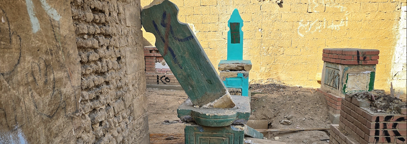
Authorities appear to be moving ahead with plans to demolish a number of residences in Arish.
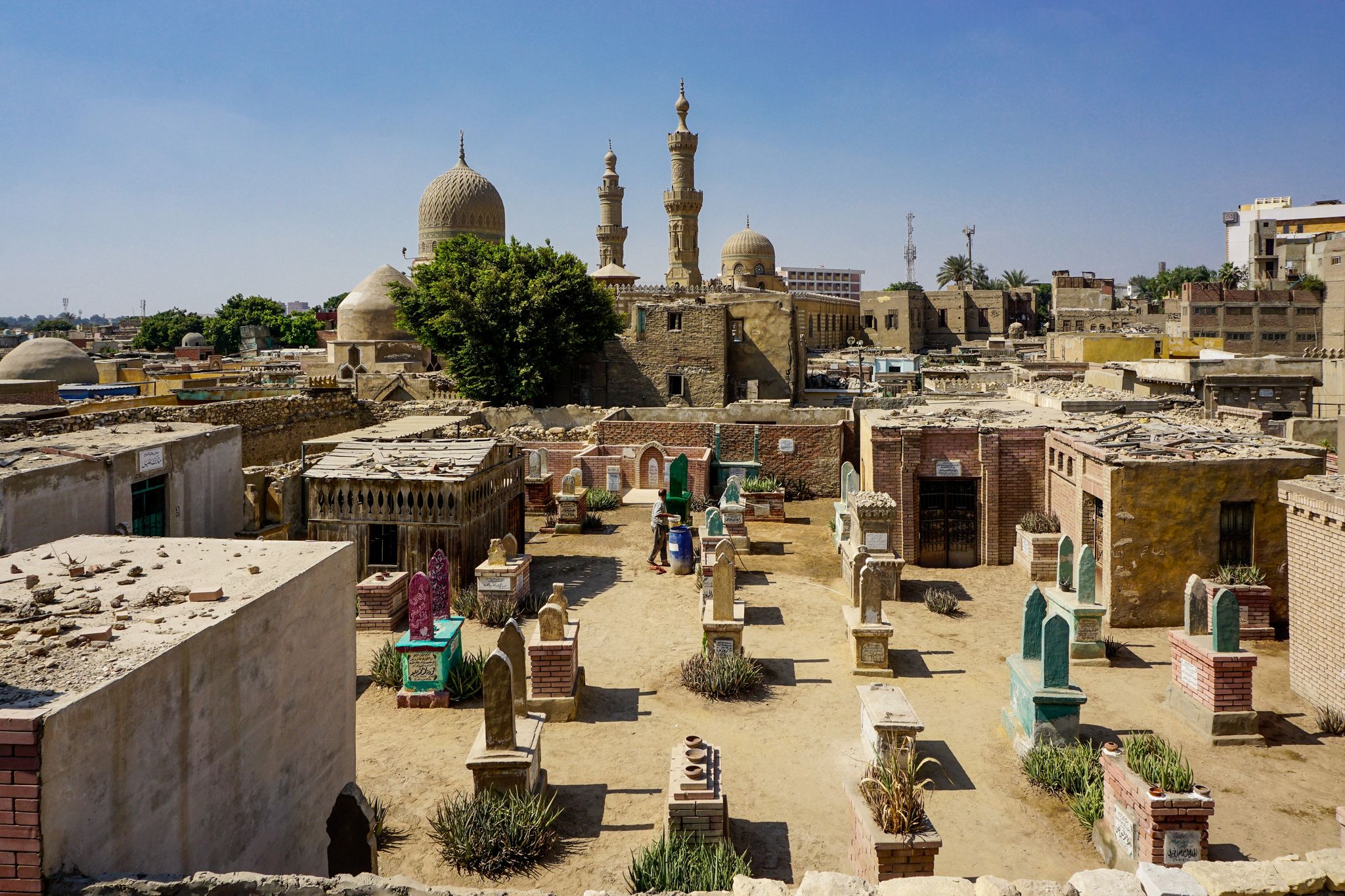
Red crosses banish family burial sites, residents from historic Cairo’s necropolis
Residents and plot owners were not given a timeline for the demolitions
Your support is the only way to ensure independent, progressive journalism survives.
You have a right to access accurate information, be stimulated by innovative and nuanced reporting, and be moved by compelling storytelling. Subscribe now to become part of the growing community of members who help us maintain our editorial independence.
Join us